ABOUT THE PROJECT
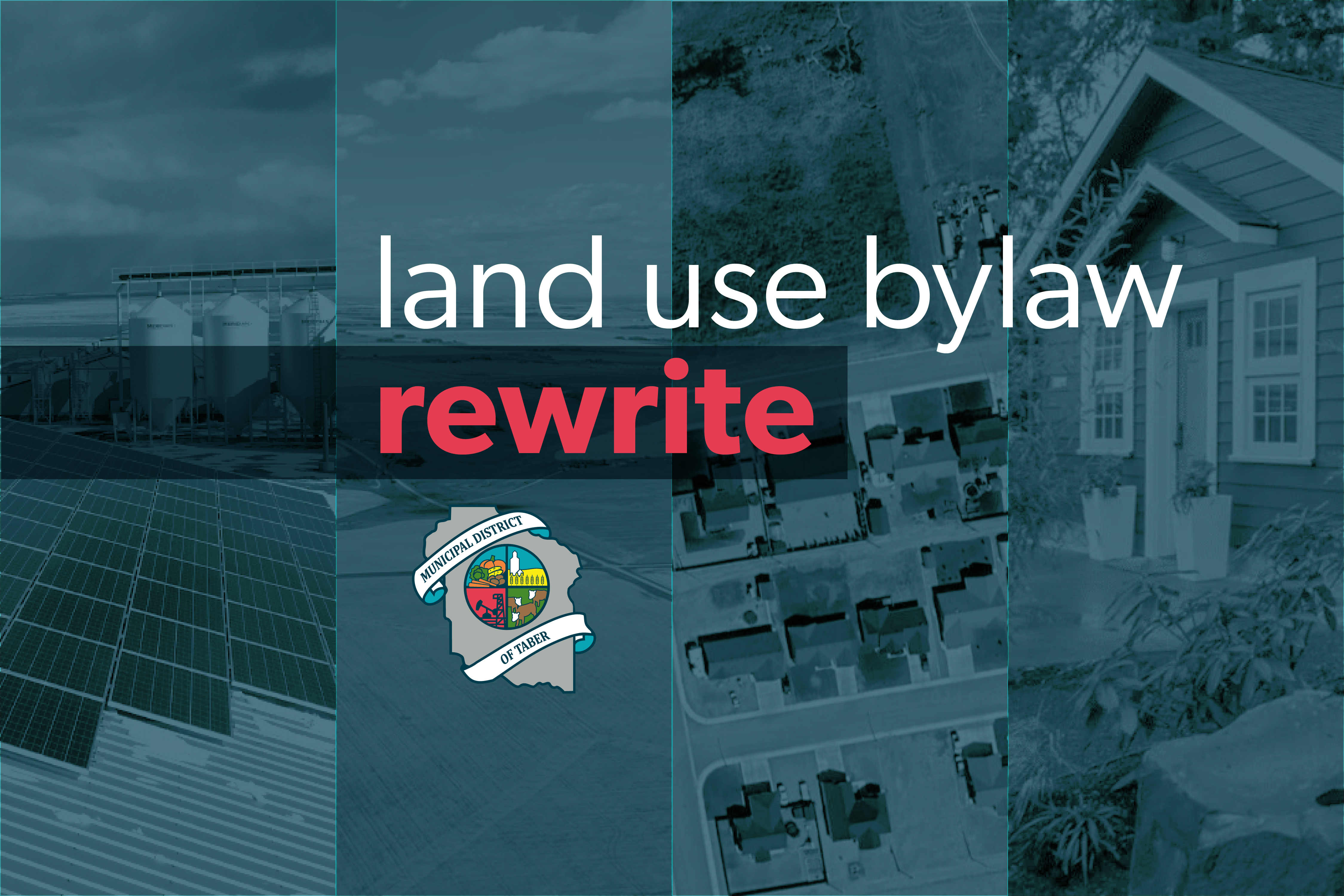
It has been 20 years since the MD of Taber has undertaken a full review of its Land Use Bylaw.
Several amendments have been made over the years, but the scope and nature of developments have changed drastically since the bylaw was adopted by Council in 2004.
FIRST READING: MD of Taber Land Use Bylaw No. 2011
The following motion was made with respect to the proposed Municipal District of Taber Land Use Bylaw No. 2011 at the Municipal District of Taber (MDT) Council meeting on November 26, 2024:
Resolution# : C-2024-455
That; the Municipal District of Taber (MDT) give first reading to Land Use Bylaw No. 2011,
And; proceed with the public notification process for a Public Hearing to be held at 1:00 p.m. at the January 14th, 2025 Council Meeting.
Carried
As such, MDT Administration have proceeded in circulating the Public Notice to the public, neighboring municipalities and stakeholders using provisions outlined in municipal and provincial policy and bylaw.
Anyone wishing to make a presentation regarding the proposed Bylaw No. 2011 should provide written comments to MDT Administration no later than 12:00 noon on January 7, 2025.
Both written and/or verbal presentations may be given at the Public Hearing to be held at 1:00 p.m. at the January 14th, 2025 Council Meeting in Council Chambers at the MD of Taber Administration Office, 4900B – 50 Street, Taber.
LAND USE BYLAW SURVEY
The Land Use Bylaw survey is now closed. The MD of Taber thanks you for your participation! Your involvement has been invaluable in finalizing the draft Land Use Bylaw. The feedback gathered will be presented to Council for their consideration before the final bylaw is introduced for the first reading and the adoption process begins.
QUESTIONS
If you have any questions or require additional information, please do not hesitate to contact:
Tom Anderson - MD of Taber
Development Officer
403-223-3541
tanderson@mdtaber.ab.ca
Bonnie Brunner - ORRSC
MD of Taber Planning Advisor
403-329-1344
bonniebrunner@orrsc.com
Project Cycle
Project Initiated
Council Initiated Project Spring '22.
Workshops
Workshops with Council & Administration Fall '22 – Fall '23.
Draft Bylaw
Draft & Review Bylaw Fall '23 – Spring '24.
Public Engagement
Consultations for Contributions June 1 – July 8.
Under Review
Review & Consideration of Feedback
Final Draft & Adoption
Final Drafting & Adoption Process
FAQs
What is a Land Use Bylaw?
A Land Use Bylaw (LUB) is the primary document that details how land can be used and what can be built on it. It designates each area in the municipality into zones, called districts, and sets out general rules and regulations for what types of buildings, structures and activities are allowed in each land use district.
Why do we need one?
All municipalities in Alberta are required by the Municipal Government Act to have a land use bylaw. This bylaw establishes rules and standards for land use within each district as well as the process that will be followed for making decisions for planning applications. Having these standards contributes to healthy, safe, functional and appealing communities and ensures that the location and forms of physical development within the community are compatible with each other.
Why a new bylaw?
The current Land Use Bylaw was originally passed in 2004 and has seen numerous updates since then which led to a full review of the bylaw. A comprehensive rewrite of the bylaw was necessary to address the significant changes in the type and scope of development occurring in the MD of Taber. It is a standard process to update municipal land use bylaws every 10 to 20 years.
What's changing?
The following is an overview of the most significant changes proposed for the Land Use Bylaw:
Administrative
- Authority is proposed to be given to the Development Officer for approval of permitted use of development applications. This will allow for greater efficiency in processing as all permit applications currently go to the Municipal Planning Commission, which was previously known as the SDA (Subdivision and Development Authority), for approval at their meetings twice a month.
- Applications for discretionary uses and permitted uses requesting variances will still be reviewed by the Municipal Planning Commission.
- Processes and requirements for development and subdivision are clarified.
- Added and updated uses and definitions to aid in interpretation.
New Land Use District – Grouped Country Mixed Use (GCM)
In response to public interest for expanded business opportunities in the Grouped Country Residential land use district, this new land use district has been proposed to provide the opportunity to operate a business from a residential setting that may be more intense than the Home Occupation use currently permitted in Grouped Country Residential. The proposed GCM district will require a residential use to be established with the business use. Businesses may include but are not limited to the following:
- contractor and trade shops
- household repair services
- water hauling
- mechanical repair
- trucking and transport service
- equipment, machinery and vehicle sales, rental and service
Development Permits Required for Ag Buildings and Other Uses
It is proposed most buildings and structures associated with Extensive Agriculture would no longer be exempt from the requirement to obtain a development permit.
All Agricultural Buildings, except those 1000 or less in size on a parcel greater than 40 acres on land zoned Rural Agricultural or Rural/Urban Fringe, are proposed to be required to obtain a development permit.
Class A Agricultural Buildings (on parcels greater than 40 acres) are proposed to be permitted uses allowing for approval by the Development Officer.
Class B Agricultural Buildings (on parcels 40 acres or less) are proposed to be discretionary uses and will continue to require approval by the Municipal Planning Commission.
Please Note: the definition of Agricultural Buildings does not include Commodity Storage Buildings such as potato or onion storage warehouses, which are separately defined and classified as Rural Industrial Class A. These buildings and uses will be classified as a discretionary use requiring Municipal Planning Commission approval.
Grain bins, not including the first grain bin placed on a parcel greater than 40 acres in size, on land zoned Rural Agricultural or Rural/Urban Fringe are proposed to be required to obtain a development permit. Grain bins would be classified as Agricultural Buildings and processed as a permitted or discretionary use according to the size of parcel.
Dugouts with a footprint one acre or greater in size require a permit. Dugouts are proposed to be defined as containment and storage of water supply below grade with a total footprint not to exceed one acre inclusive of any berms, stockpile, and fencing.
Private Reservoirs require a permit. A Private Reservoir is proposed to be defined as a development specifically sited and constructed for the purpose of containment and storage of a water supply for non-public use that exceeds one acre in size or includes any portion of water storage above the natural grade of surrounding lands.
These changes are proposed to assist property owners in ensuring buildings/structures are located outside of utility right-of-ways, that they adhere to property setbacks and identify any other concerns specific to the location prior to construction and recognize that just like any other development this type of development has the potential to create impacts on adjacent parcels and municipal infrastructure warranting consideration through the development permit process.
Opportunities for Additional Dwelling Units
In response to public feedback, opportunities for additional dwelling units are proposed in all residential land use districts as well as the Rural Agricultural and Rural/Urban Fringe districts.
Agricultural Labour Housing is proposed to be included in Employee Housing which will provide the opportunity to locate a dwelling in proximity to a business in the Rural Agricultural and Rural- Urban Fringe districts.
Residential Use of Agricultural and Other Non-Residential Buildings is proposed to allow for a dwelling unit within or attached to an agricultural or other non-residential building at the discretion of the Municipal Planning Commission.
| > 80 Acres Rural Agricultural, Rural/Urban Fringe | < 80 Acres Rural Agricultural, Rural/Urban Fringe | Grouped Country Residential | Grouped Country Mixed Use | Hamlet Residential | |
|---|---|---|---|---|---|
| Secondary Single-detached Dwelling | P | D | |||
| Garden Suite | D | D | D | D | D |
| Secondary Suite | D | D | D | D | D |
| Employee Housing | D | D | |||
| Residential Use of Agriculture and Other Non-Residential Buildings | D | D |
(P– Permitted Use, D– Discretionary Use)
New Use-Specific Standards
These standards are proposed to establish guidelines for common uses in the MD. These new use-specific standards include the following:
- Ancillary buildings, structures and uses
- Anhydrous Ammonia Bulk Storage Facilities
- Animal Care and Boarding
- Coverall/Fabric Buildings and Structures
- Dugouts and Private Reservoirs
- Dwellings:
- Secondary Dwelling and Additional Dwelling/Dwelling Unit
- Site Built Dwelling
- Garden Suite
- Secondary Suite
- Employee Housing
- Meteorological Towers
- Personal Workshop and Storage Building
- Residential use of Agricultural and other Non-Residential Buildings
- Surveillance Suite
- Work Camps
Reduction to Public Road Setbacks
Currently, the required front setbacks are measured from the centerline of the adjacent rural road; it is proposed the development setback from rural roads will be measured from the property line. This will ensure that all property owners follow the same setback standards even though road right-of-way widths are not all the same.
New setbacks from Local Internal Subdivision Roads have been proposed. This will allow lesser setbacks within grouped developments where traffic flow is typically calmer and at reduced speeds. The introduction of Local Internal Subdivision roads will increase the buildable area of lots within the Grouped Country Residential, Grouped Country Mixed Use, Grouped Rural Industrial, and Private Commercial Recreation land-use districts.
Shelterbelt setbacks are proposed to be reduced to 50 feet from a property line adjacent to a road right-of-way. Note: All development including shelterbelts must still comply with the 350-foot intersection sight triangle setback unless approved otherwise by the Municipal Planning Commission.
Note: All development including shelterbelts must still comply with the 350-foot intersection sight triangle setback unless approved otherwise by the Municipal Planning Commission.
Enhanced Requirements for Wind and Solar
Solar Energy Systems Class A and B Roof-mount and Solar Energy Systems Class A Ground-mount are proposed to be permitted in some districts where they are currently a discretionary use. Application requirements for industrial-scale wind and solar developments are proposed to be enhanced and include a pre-application meeting requirement for a Solar Energy Systems Class C.
Application requirements for industrial-scale wind and solar developments are proposed to be enhanced and include a pre-application meeting requirement for a Solar Energy Systems Class C.
Solar Energy Systems Class C may require financial security as a condition of approval to ensure that soil management/conservation and erosion and weed control is adequately provided in accordance with the municipal plans.
Expanded Sign Standards
- Sign types are defined and additional standards are proposed to better regulate signs.
- Inclusion of sign application requirements and specification of signs not requiring a development permit.
- Criteria for portable signs are proposed within the bylaw.
Zoning Changes
Zoning changes are proposed for certain lands in Enchant, Hays, Grassy Lake and Retlaw. These changes are proposed for consistency with existing use. All affected property owners will be notified directly prior to the finalization of the bylaw. These changes are identified on the zoning maps (Part 12) in the draft bylaw which can be viewed here.
How can you participate?
The MD of Taber thanks you for your participation!
While public consultation is now closed, there were several ways to participate, including:
- Open houses where attendees could learn about the proposed bylaw, ask questions, and provide feedback to the Council and Planning Team.
- An online survey for submitting comments.
Your involvement has been invaluable in finalizing this bylaw. The feedback gathered on the draft Land Use Bylaw will be presented to the Council for their consideration before the final bylaw is introduced for the first reading and the adoption process begins.